Dolores River
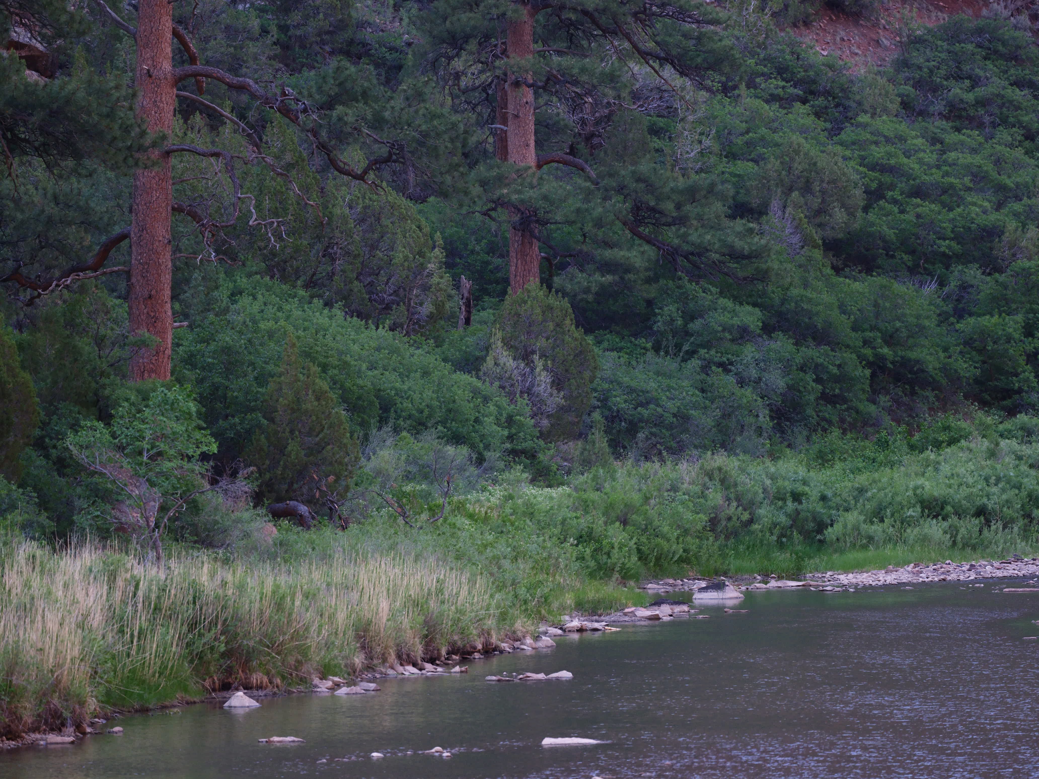
Dolores means sorrow and for this river one can feel it. We camped along its tepid shores this evening under the sycamore maples with strange bird song and the sound of the river through the underbrush.
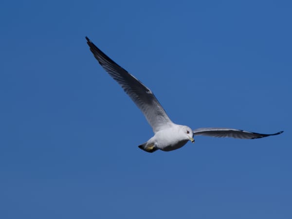
Yellow-breasted Chat
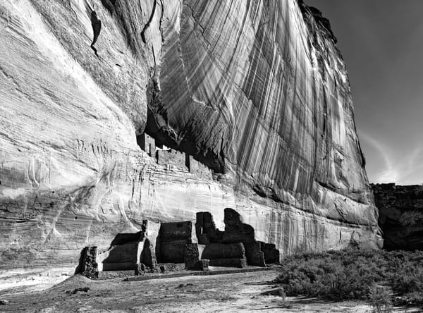
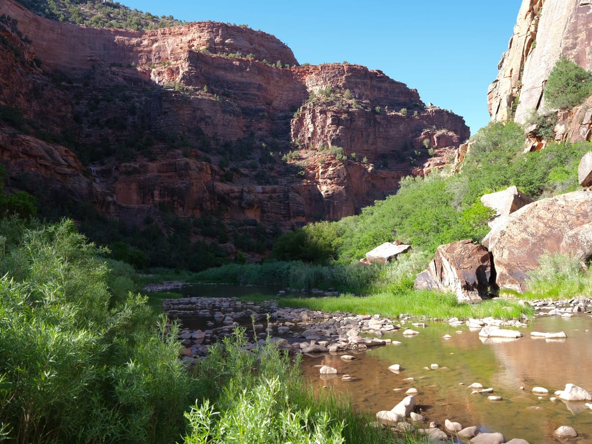
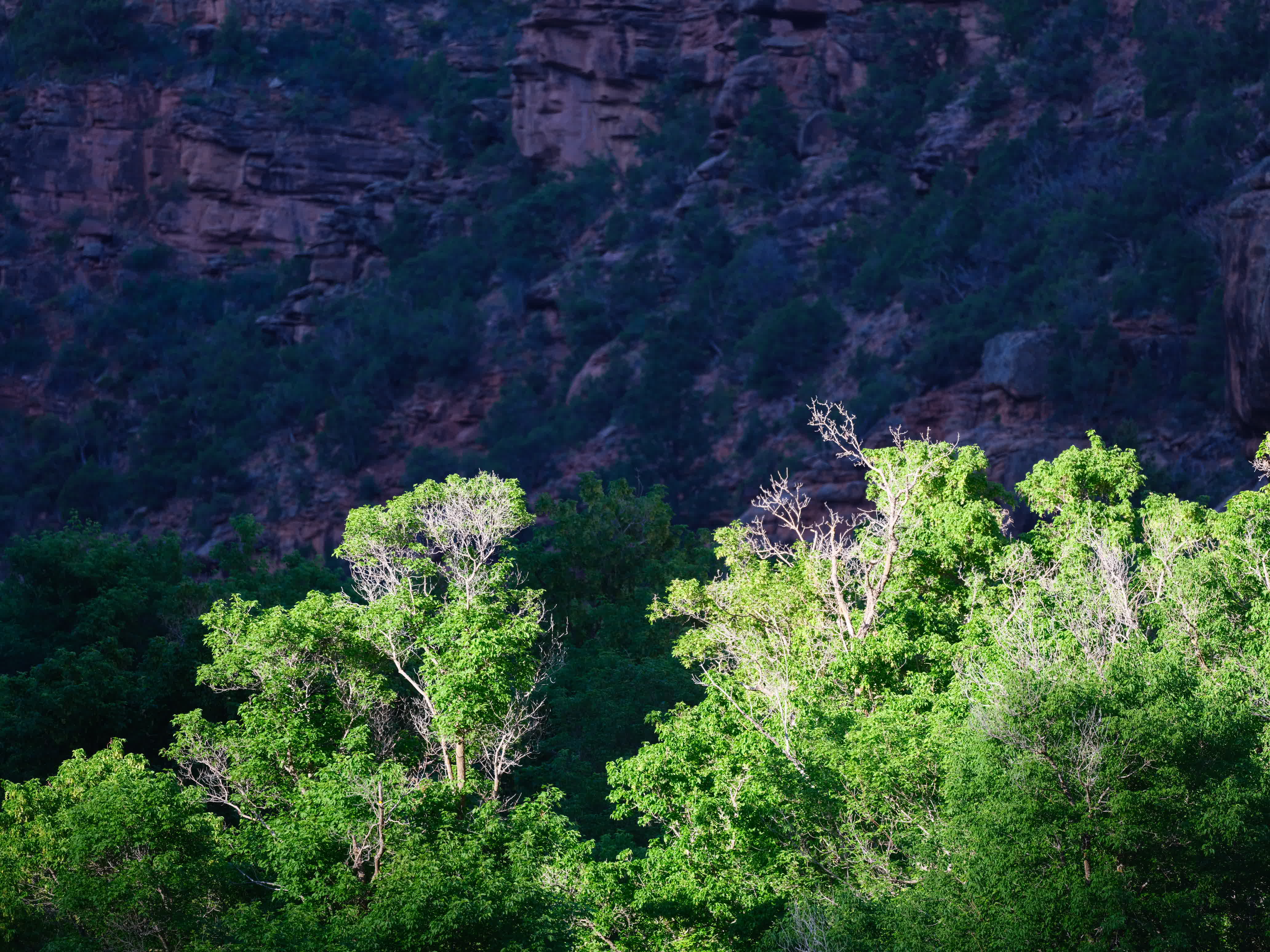
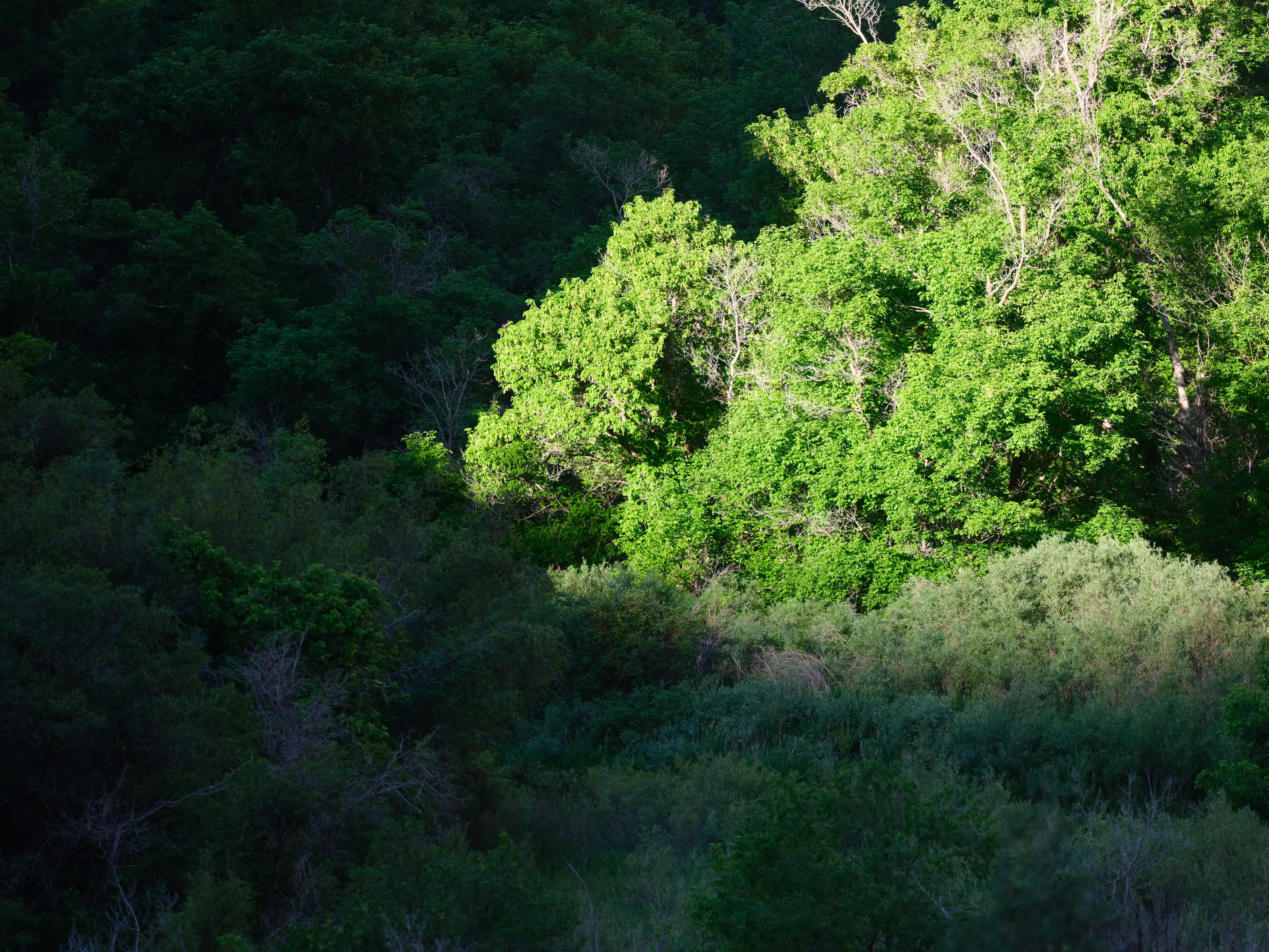
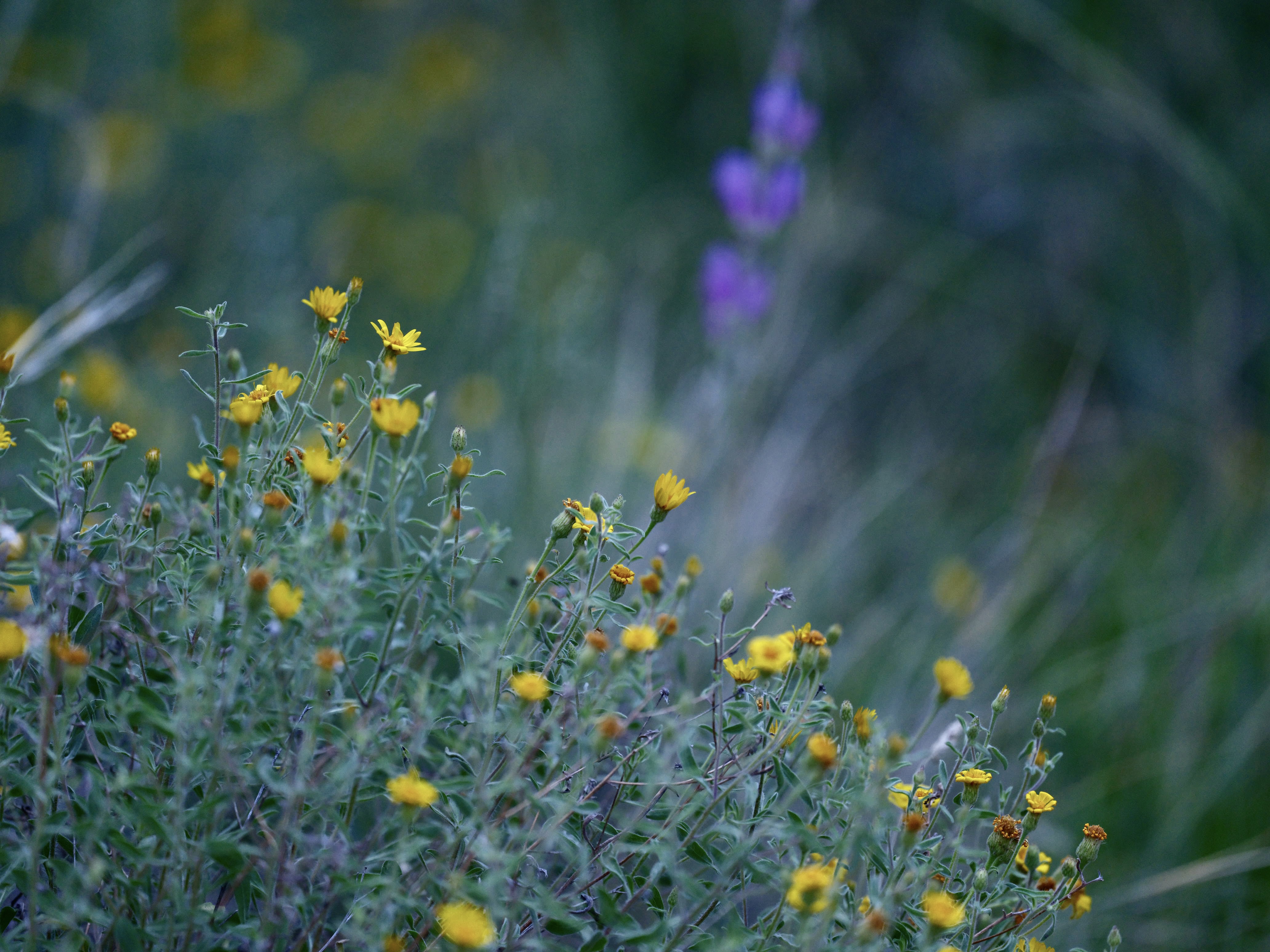
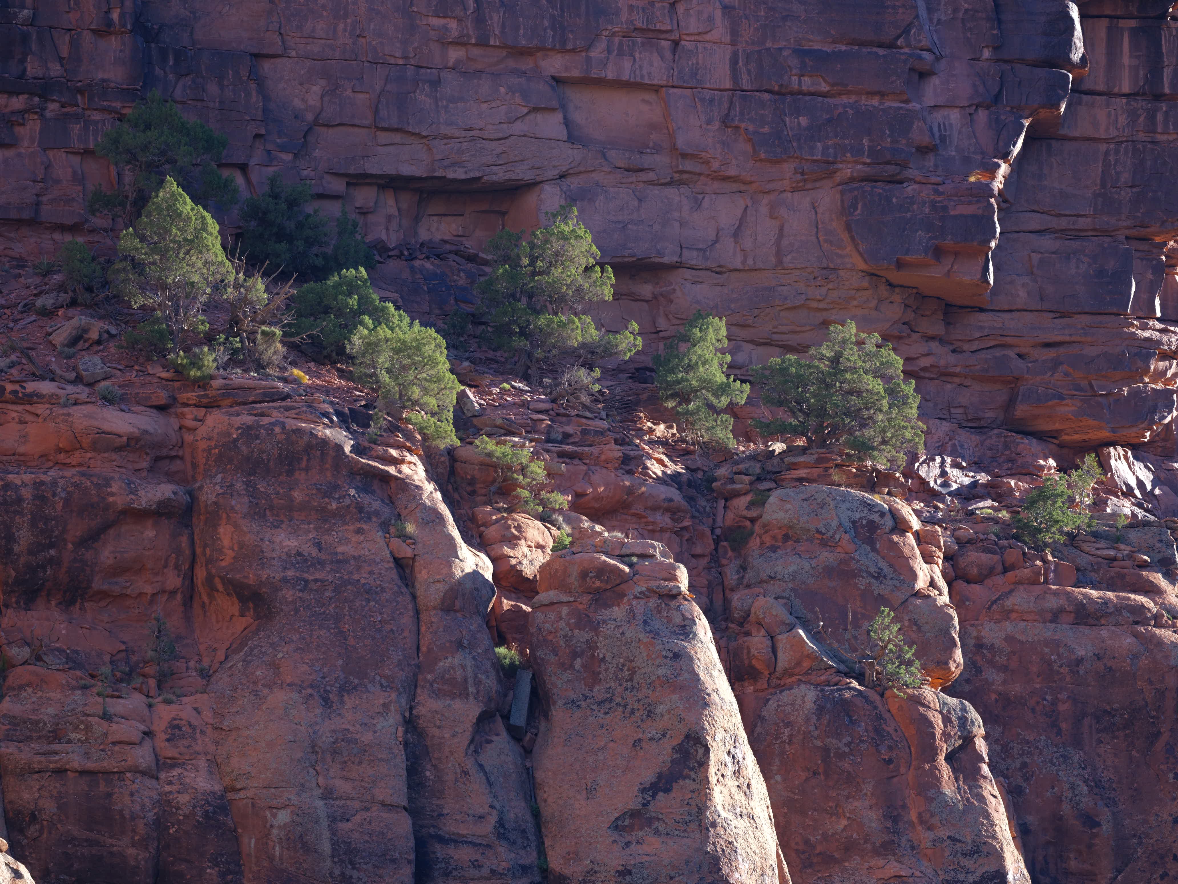
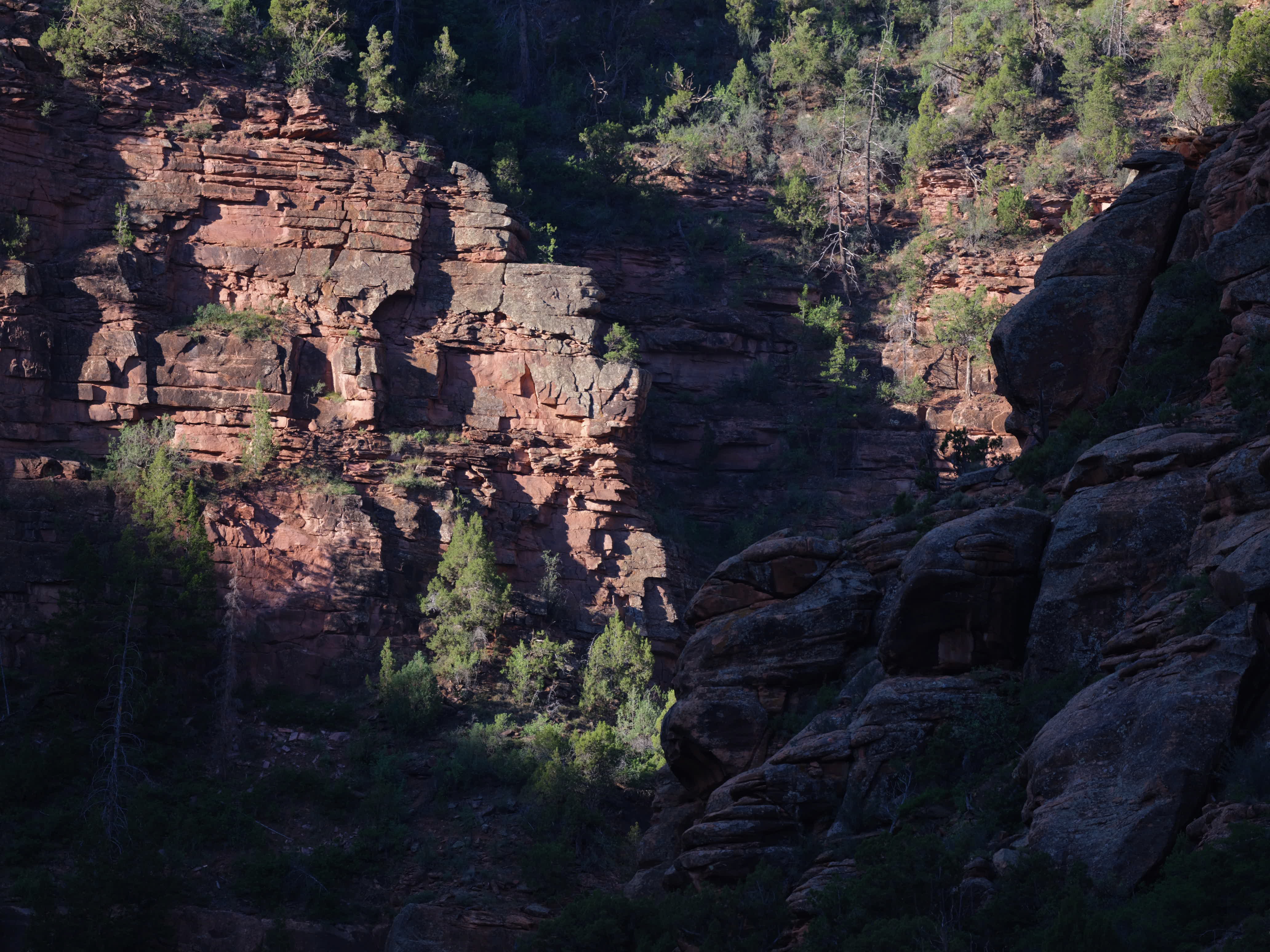
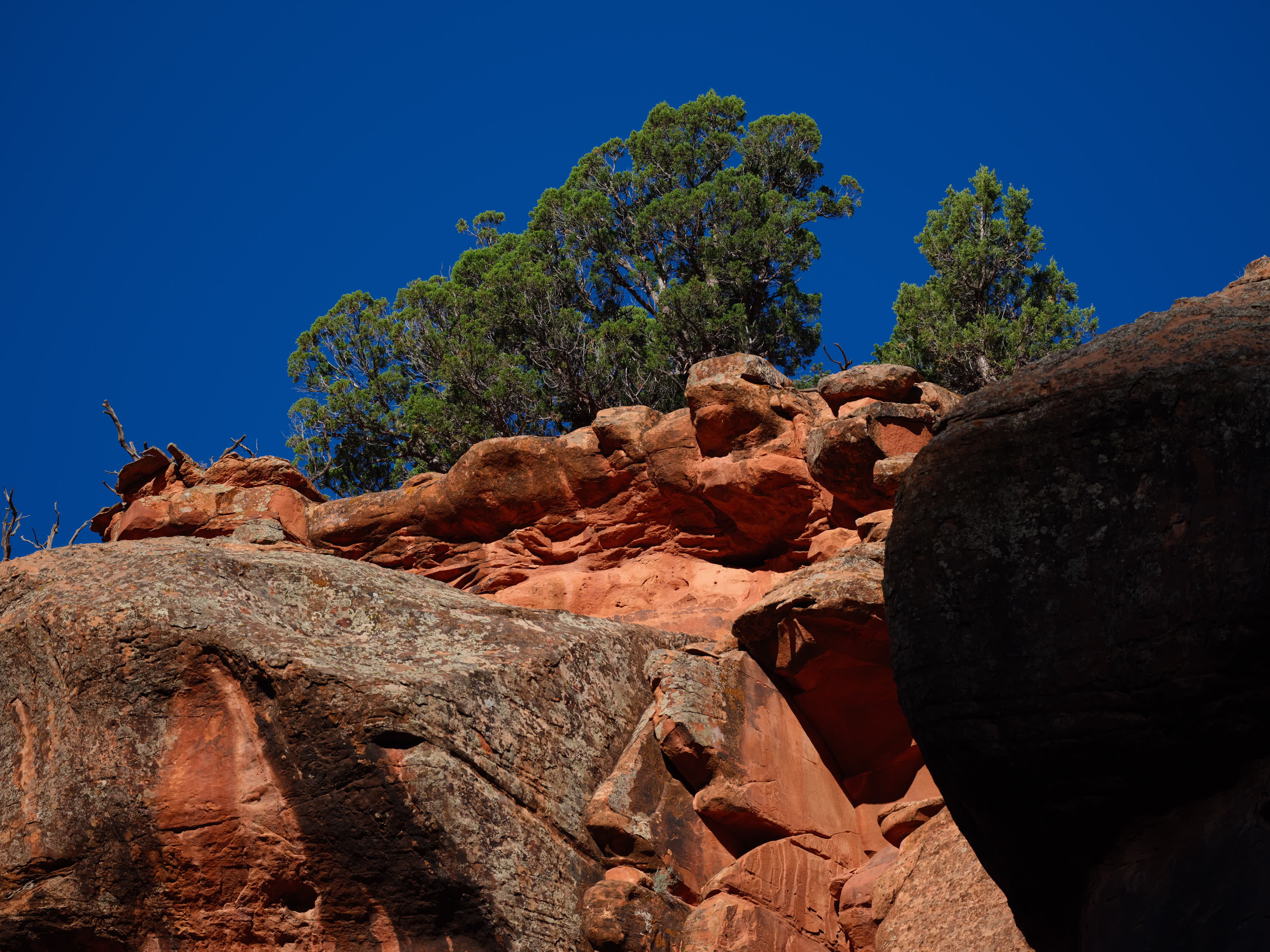
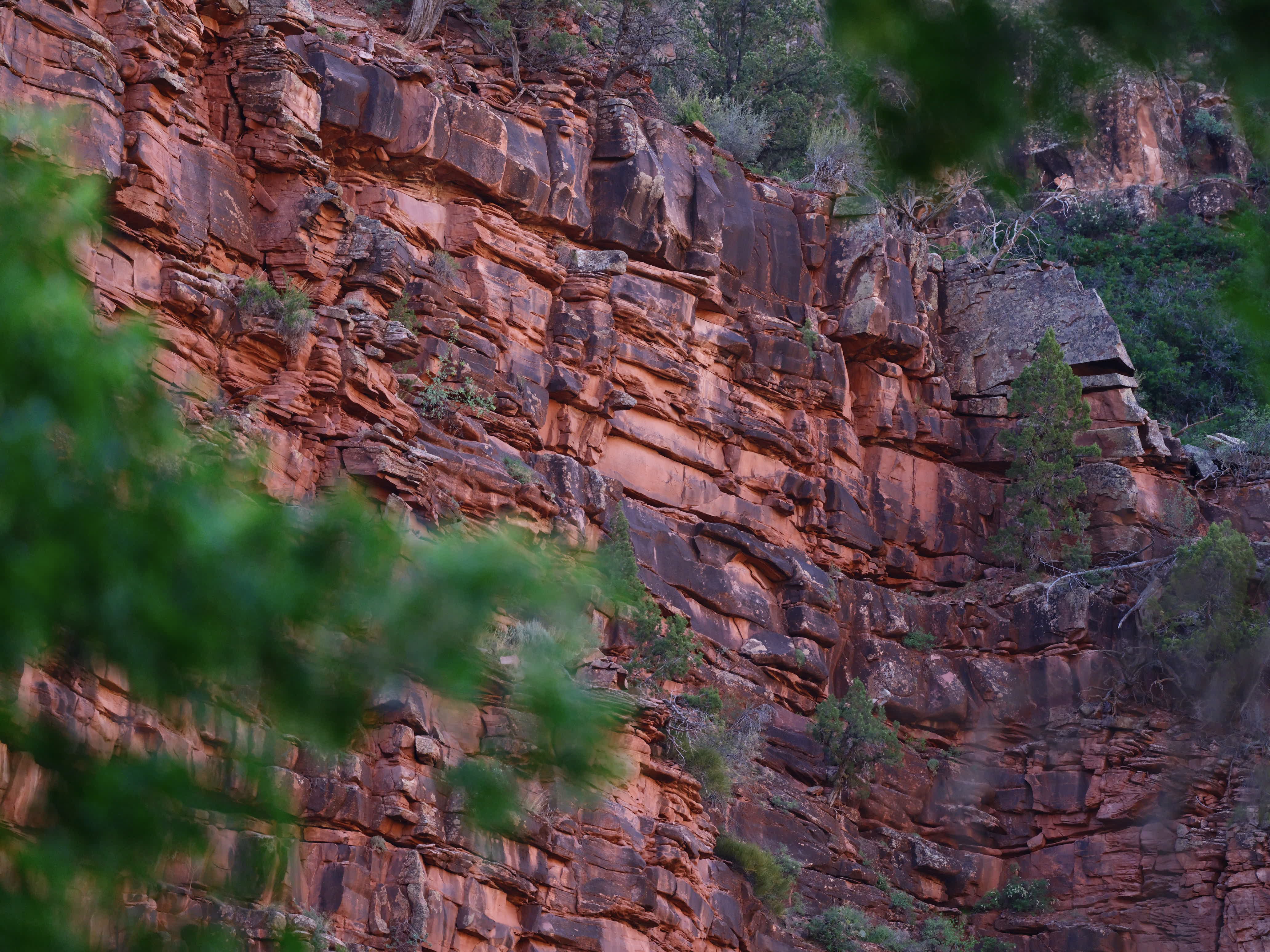
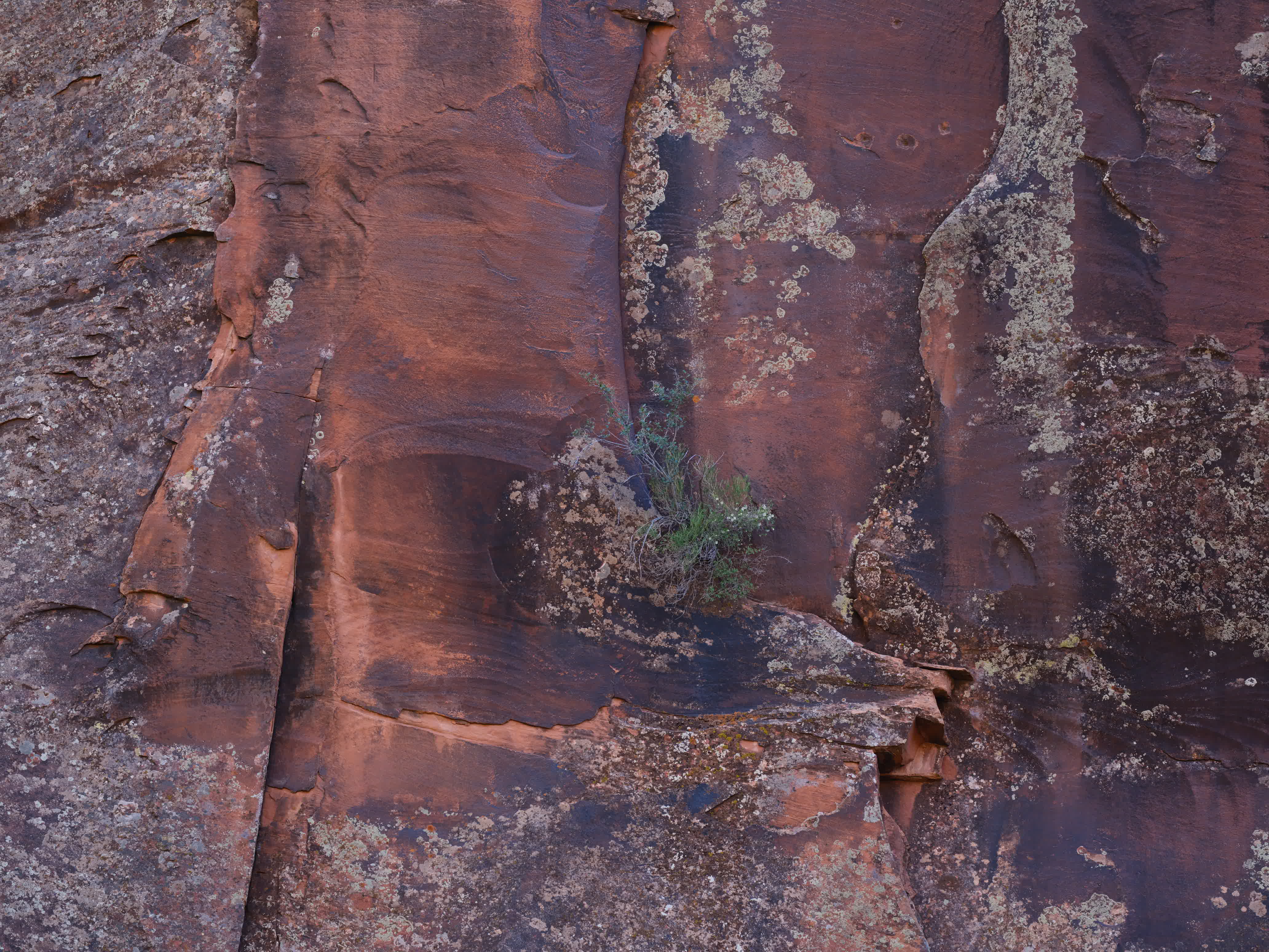
High above us rise rugged rocky red canyon walls that reflect the light from the setting sun onto the shadowed side of the canyon revealing an unreal saturation of red-orange contrasted with the early summer green of the pinyon, juniper, and deciduous trees in the canyon bottom.
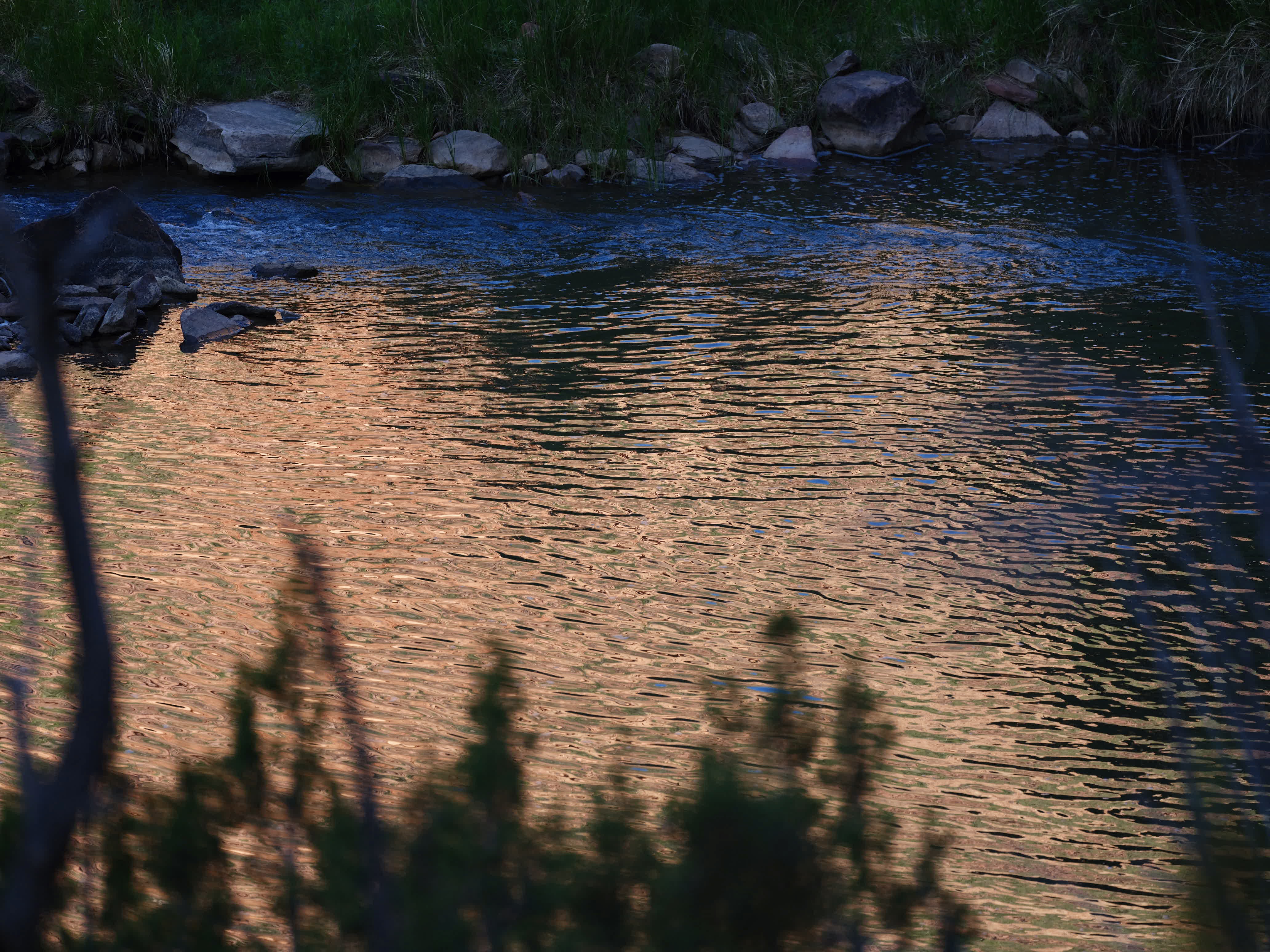
By the time the Dolores gets here the farmers have pumped and diverted most of the late spring snowmelt into the fields between here and upstream to Cortez. What is left is warm and moves at times at the pace of a rain puddle. Elsewhere the current stirs more and riffles and perhaps rapids form. There are boat launches along this stretch but it seems the season is over as not even an inner tube would be able to navigate this stream.
The warmth of the water and its exposure to the summer sun tells me not to expect trout. Perhaps a deeper pool and somewhere some shade.
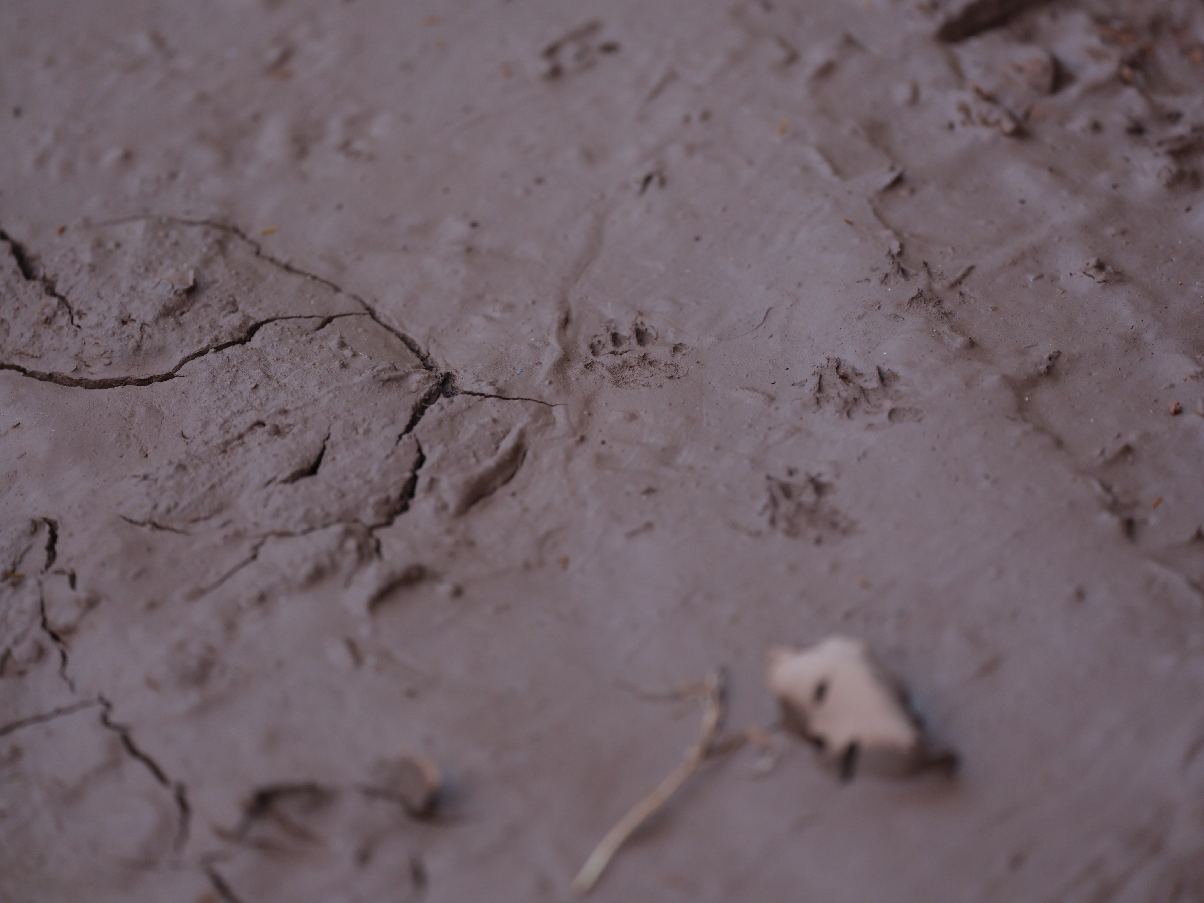
Still the river canyon is stunning. The desert for me offers aching beauty in its dry stillness. Water brings an element of the sacred to the place. Here under the deciduous grove the air is still and cool against the hot dry mid-June heat. The light filtered through the leaves create patterns in the dust and green grass. I feel some guilt as we humans take the best spots.

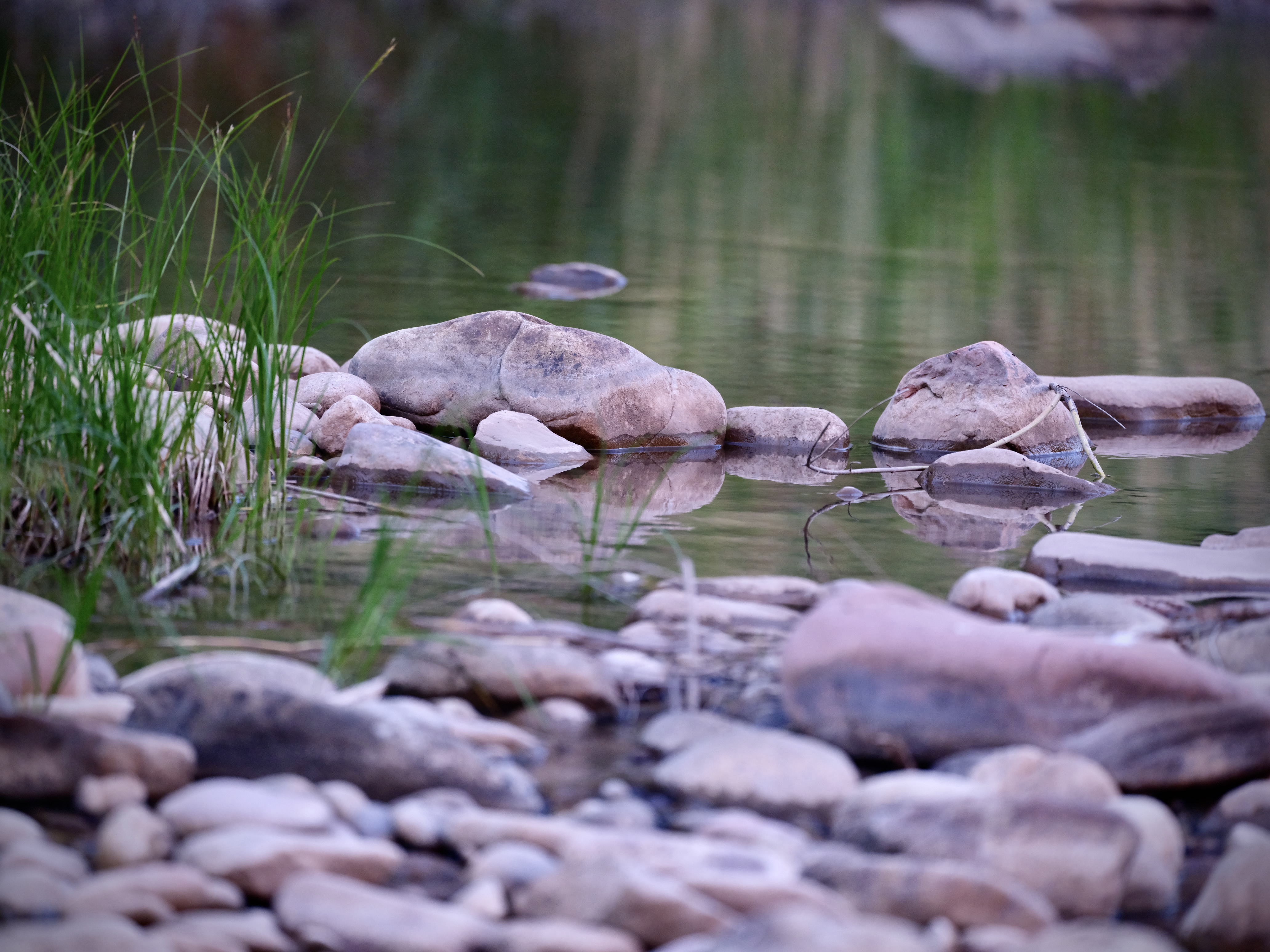
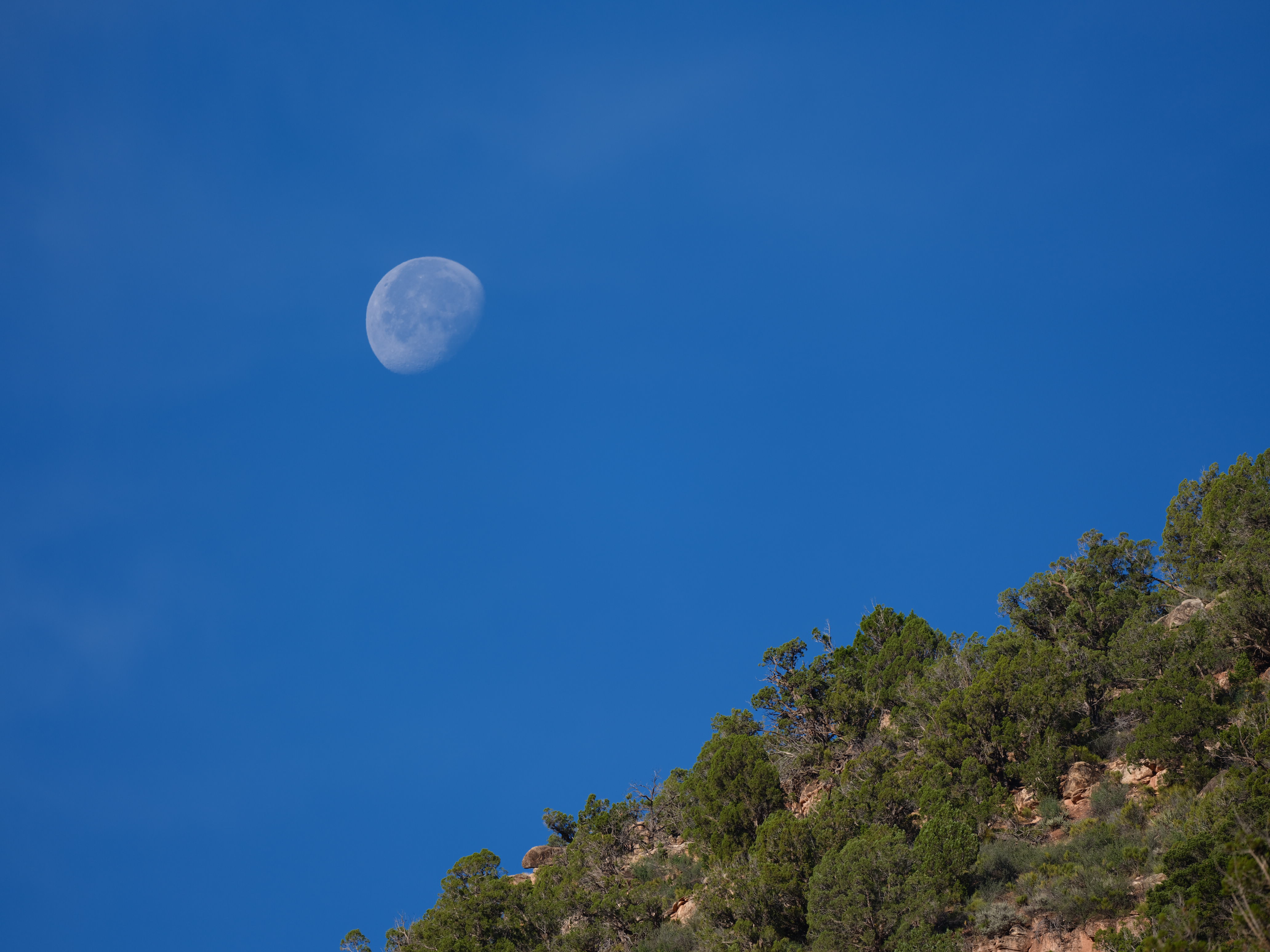
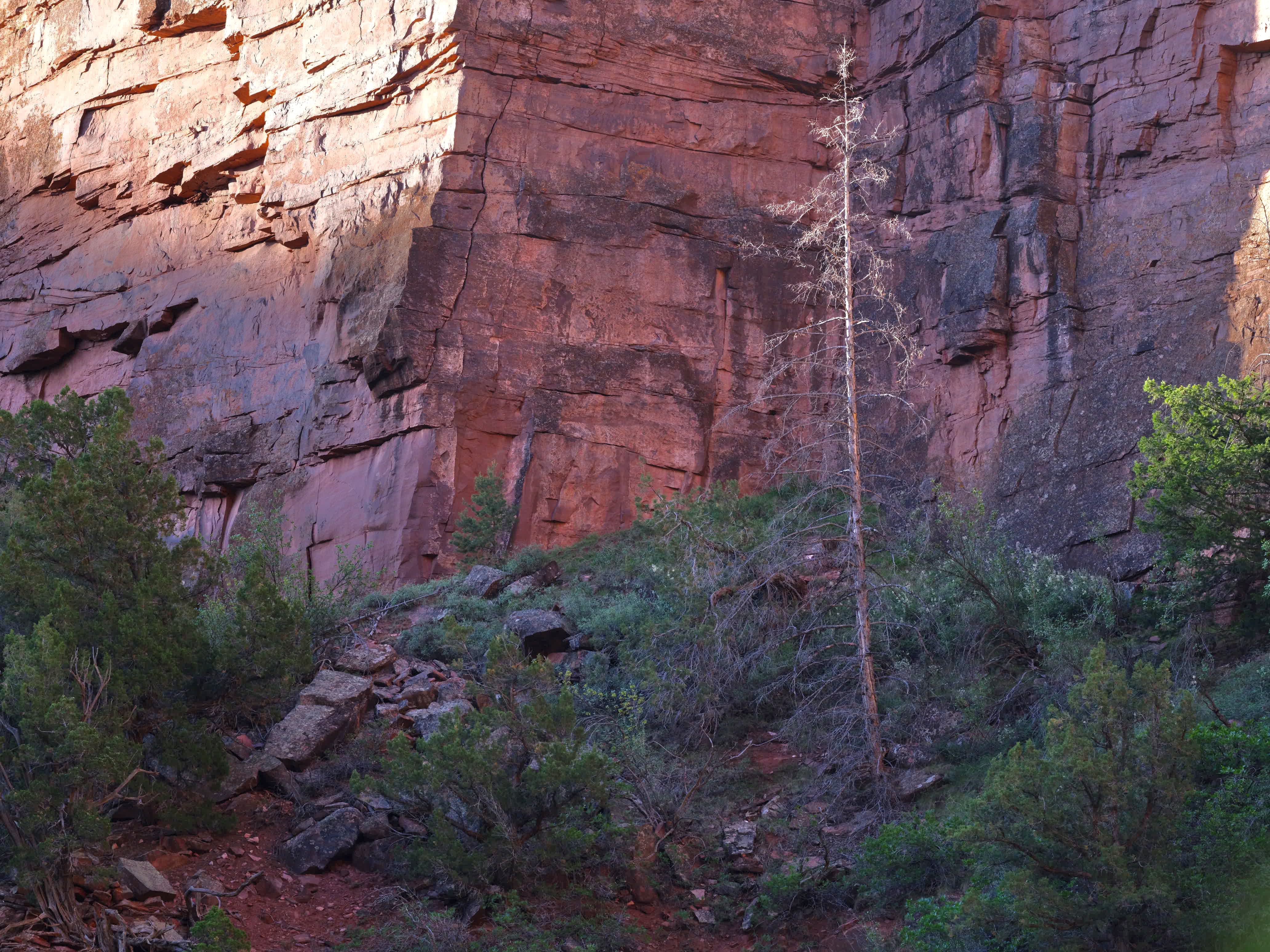
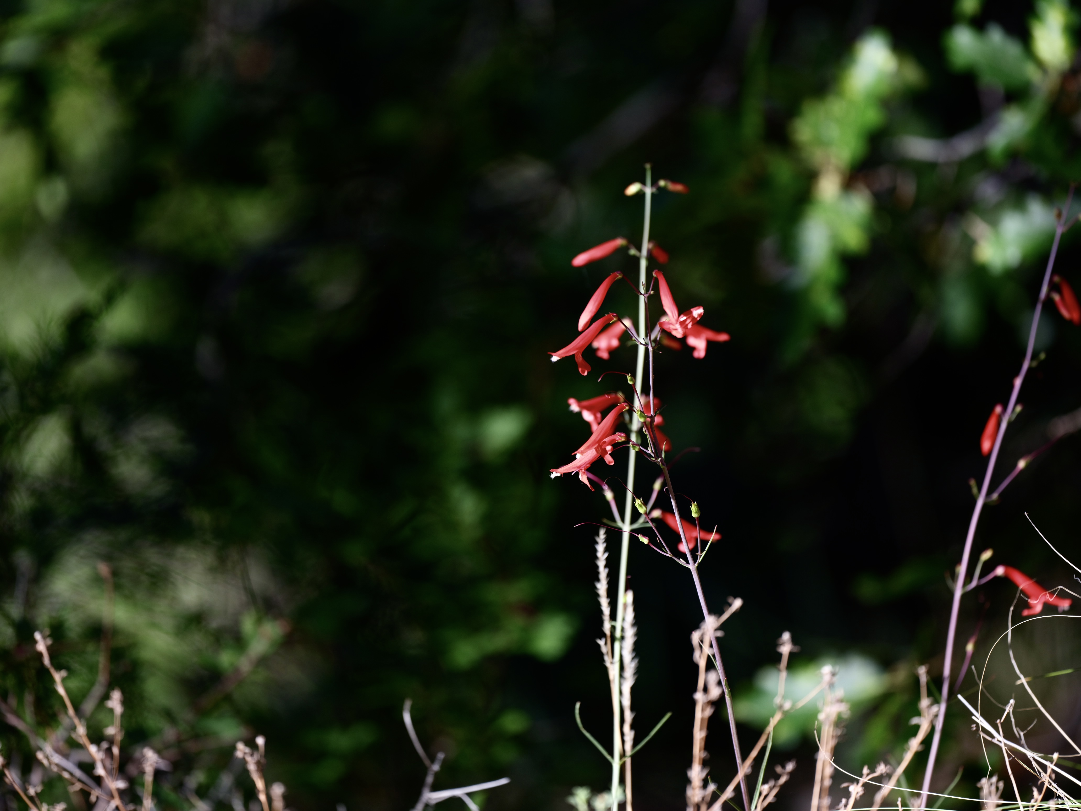
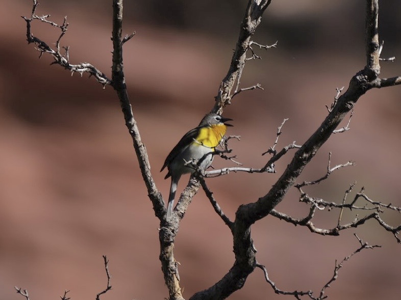
Scenes from the Dolores river canyon. The bird is a yellow-throated chat.
It is the story of all over the west. Rivers large and small are gathered and channeled to irrigate fields of hay or alfalfa, row crops or arables. Even in the highest passes over 10,000 feet the rivers are not safe from the dam and canal. The remains of irrigation allowed to seep back into the watershed after the fields are watered and join what was not diverted. What the sun does not evaporate carries the soluble salts and minerals back to the river.
The Dolores is a tributary to the much more vital San Miguel which carries its own soluble load then on to the Colorado where evaporation from downstream reservoirs concentrates the minerals. The water by the time it reaches Mexico must be supplemented with pumped ground water and desalination plants to meet water quality treaty obligations with Mexico.
Here the Dolores seems particularly sad today after the last two weeks of watching snowmelt turbid rivers fill their banks and tumbling energetically towards the ocean.
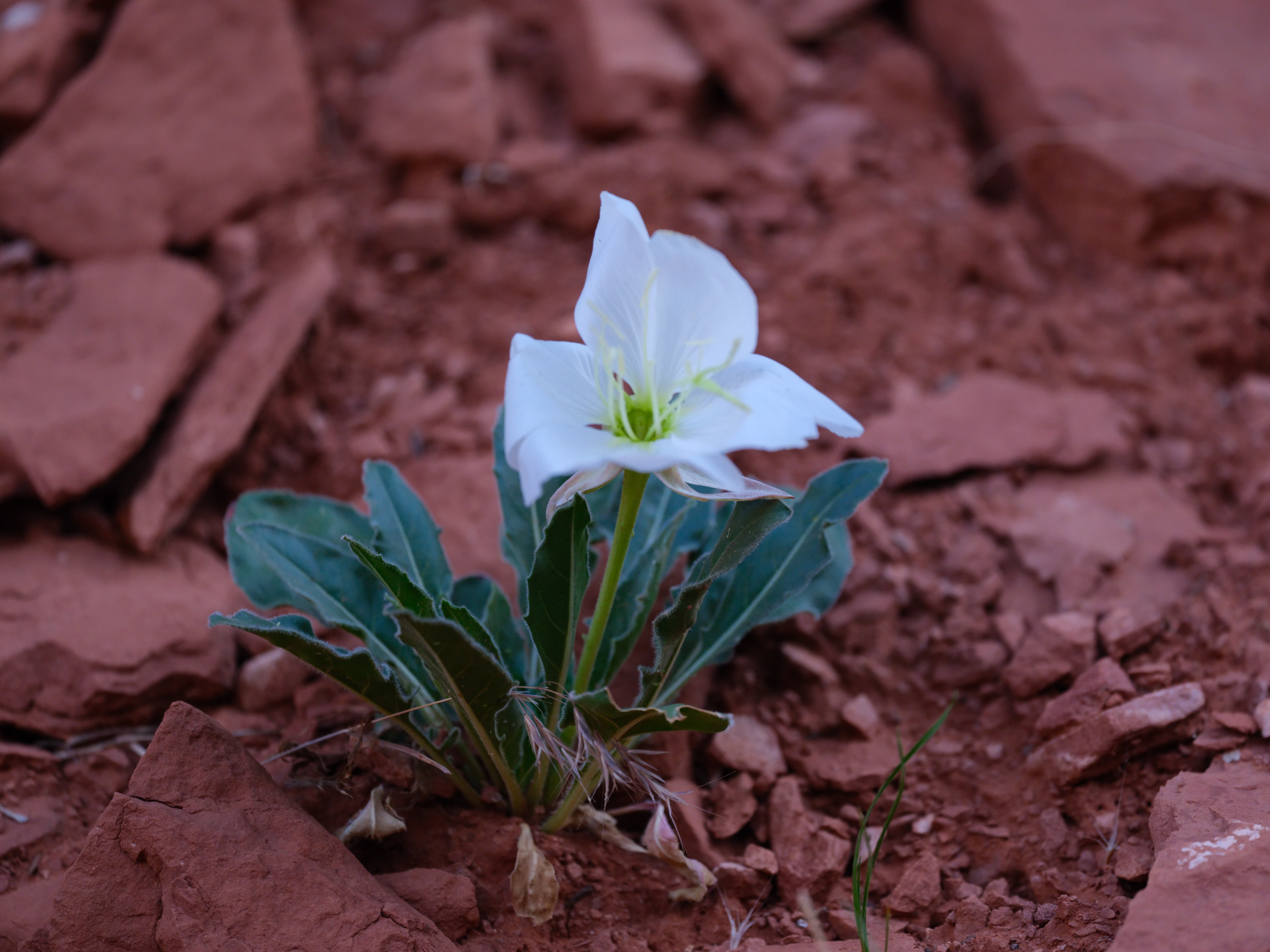
What I can show is an evening’s and morning’s worth of images to convey what the Dolores has crafted over the centuries. A barely acknowledged canyon of visual wonders. Home to uncountable plants and animals.
There is another cycle to discover. Downstream from this remote little canyon below where the Dolores joins the San Miguel in Naturita is the town of Uravan. Perhaps I should say, is the location of the town of Uravan. The town itself is gone.
Uravan was a mining town mining vanadium from the 1930’s. When the Manhattan Project started they needed a source of uranium which was also found there hence the name Uravan. The raw uranium ore mined from this location contributed to the first nuclear bombs developed in Los Alamos New Mexico. While it was occupied, the town had the amenities of most any town of those times. Stores, barbershops, a swimming pool, houses with lawns and flowers.
From Uravan the ore was sent south to Grand Junction, Colorado for refinement before it could be fashioned into weapons. After the second world war nuclear weapons continued to be developed of course. Uravan operated from the 1930s to 1983 when it was finally abandoned. It is remarkable to see a photo of a bare chested miner unloading rubble in the mine from a wheelbarrow with no respiratory protection.
The town and surrounding mill grounds were contaminated with the dust from the ore and had to be torn down, hauled off and buried along with the soil tailings, residue from the processing and evaporation ponds. Everything was capped and sealed in a 15 year project that cost $70m. A ground water treatment program is also underway. The town is gone and the only trace is an area of ground between the highway and the San Miguel that to my eye looks like reclaimed land elsewhere in the West or old landfill sites. Curiously uniform ground. The sage and other plants are back (or replanted).
There is some curious telling of the history in the roadside placards. There is no mention of radioactive contamination though clearly you don’t bury and cap a whole town at the cost $70m unless there was something wrong. The area today still has uranium mining claims that are defended by the current owners. There is probably realistic hope of more uranium mining in the area as nuclear may be part of a carbon neutral future should the country decides it wants one.
There was an initiative by the department of the interior under the Biden administration to declare the Dolores river canyon a national monument. There are signs up at various places like ranches and residences saying ‘NO’ to the monument.
I discussed this with a local and there were various objections. Those with mining claims feared they could never be worked. Many of the recreationalists like mountain bikers, hikers and backpackers were against it as they feared the monument would change their access to old mining roads and trails. Ranchers might fear losing grazing rights. There is a fear the area could become like Moab which has experienced rapid poorly controlled growth.
It appears the effort lost steam and now under the current administration would be completely untenable. My guess is there was an effort to protect lands by changing the area to a monument status. It seems, however, the local resistance worked. They may well find themselves caught between too much protection and the desire now to sell or exploit the public lands to a greater extent in the current administration. I wish them well. It is a beautiful area and seems to have achieved a kind of land use balance.
To return to the cycle that started at Uravan we can look further east in Colorado a day’s drive away to the valleys around Rifle Colorado. Here the story in a sense ends, at least for Colorado. Here arrived just one of the many crazy ambitions of the American nuclear age: Operation Plowshare. Operation Plowshare was an attempt to harness not merely the atom for peaceful purposes but the atom bomb itself.
They tried to see if it could be useful for large scale excavation and in Colorado decided to try a form of what we might call in modern parlance ‘extreme fracking’. It was known at the time that natural gas was locked up in rock layers and would seep out very slowly. The thought was a large explosion could create fractures and a cavity to release the gas.
This idea was tried twice in Colorado (at Rio Blanco, and Rusilon). A deep well was drilled and a small atom bomb lowered into the shaft and detonated. It seems the idea worked, gas was released, however it was highly radioactive. The solution it seems to be was to mix it with normal non-radioactive gas until the levels were considered safe. Fortunately this and other peaceful uses for the bomb were shelved. The well was capped and is deemed to be safe.
Today you can travel to these valleys and visit the area where the bombs were exploded. It seems one of the few areas outside of Japan and Trinity site where this can be done. Dolores seems like a proper starting point for this tale.
Photography Notes
I used both my Fuji GFX 100s ii and GFX 50s ii. The 100s ii has my GF500 f5.6 lens while the 50s ii keeps my 35-70mm kit lens. I find it easier than switching lenses. Both I have set for this trip to Provia/STD film simulation as I find the higher contrast and slight saturation reproduces the colors we encountered best.
I tend to shoot 2/3 of a stop underexposed. This helps with bright western light this time of year and keeps highlights in check.
Most images have been tweaked on Apple’s stock photo app mostly for contrast.